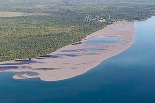
Affected area is Lake Superior shoreline from Gay to Grand Traverse Harbor
The Michigan Department of Environment, Great Lakes and Energy’s Water Resources Division, in cooperation with the Buffalo Reef Task Force, is asking property owners to report underground features, like onsite septic systems and water and irrigation lines, along a 5-mile stretch of Lake Superior shoreline in Keweenaw County.
Over the past few years, the task force has been working to remove dark-colored stamp sands from the beach between the community of Gay and Grand Traverse Harbor.
The stamp sands were deposited into Lake Superior and on the beach at Gay during historic copper stamp mill processing from the Wolverine and Mohawk mines. Ore was crushed by the stamps and the copper separated through a flotation process. Stamp sands are the waste material resulting from the milling work.
Over the past roughly 80 years, the stamp sands have shifted south – moved by winds, waves and nearshore lake currents – about 5 miles to the Grand Traverse Harbor, covering 1,426 acres of shoreline and lake bottom.
“Without taking measures to slow the movement and down-drift accumulation of the stamp sands, they will eventually move past the harbor and deposit on the natural white sand beach south of the jetty, at the mouth of the Traverse River,” said Steven Check, a project manager with the U.S. Army Corps of Engineers in Detroit.
The sands threaten Buffalo Reef, a natural underwater structure important to lake trout and lake whitefish. Read more

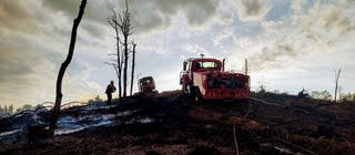



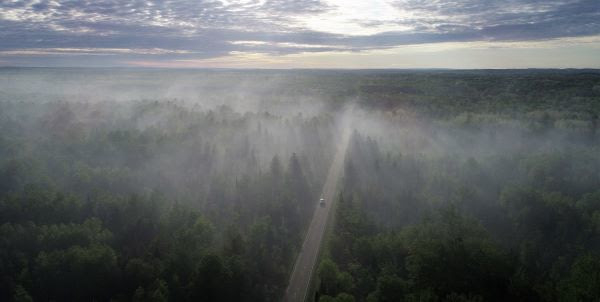
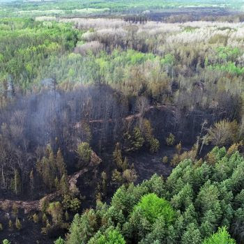 The fire is located approximately 5 miles northwest of the city of Manton and 21 miles southeast of Traverse City. The fire is 78% contained, with a total fire perimeter estimated at 6.3 miles. Currently, 5.9 miles of the fire line has containment line completed, with work continuing on the remaining 0.4 miles of uncontained fire line. The fire area is located east of 31 Road, west of 33 Road, north of 12 Road and primarily south of 8 Road.