The Leica Ballistics App
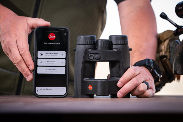

Leading German optics brand Leica Sport Optics sets a new benchmark in optics and rangefinding, thanks to the launch of their new Leica Ballistics App. Combining the best of two worlds: Leica’s 30 years of pioneering expertise in optics and rangefinding, with the global leader in ballistic applications, Applied BallisticsÒ, hunters are offered one perfectly packaged solution to help make those challenging shots in the mountains, on the range or wide-open fields.
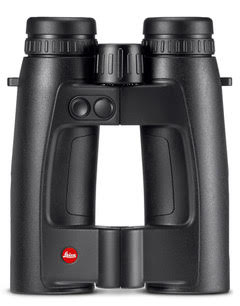
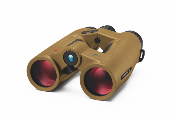
The Leica Ballistics App is currently supported by the new Leica Geovid Pro 8×32 and 10×32, which comes factory-equipped with Applied Ballistics Ultralight®, the world’s leader in ballistic software. The app delivers precise ballistics solutions based on the combination of measured range, atmospheric data collected onboard the Geovid Pro, and other ambient data for distances up to 875 yds (800 m). In doing so, Applied Ballistics® draws on G1/G7 coefficients and a database of up to 740 preset ammunition profiles. Easily upgrade through the app to Applied Ballistics Elite® to received ballistic corrections as far as you can range.
Pairing to your rangefinder is now faster and easier than ever before. Using the Bluetooth® interface, Leica Ballistics connects your rangefinder to your smartphone, where you can transfer your custom ballistic profile from the app. Here you can create and manage all your profiles based on the industries most trusted ballistics software and get highly accurate results based on the measured range, the equivalent horizontal range, and ambient data such as temperature, and air pressure, as well as make real time adjustments of environmental data. Once transferred via the secure Bluetooth connection, put away your phone and the binocular will take over. Ballistic correction is now calculated based on real-time conditions, including wind speed and direction, completely independent of the phone!
With Leica’s new, revolutionary LPT™ (Leica ProTrack) function, you can instantly place a waypoint of any ranged target. Choose from three mapping solutions to place a waypoint and navigate to a ranged target simultaneously while taking range measurement. Meaning, the Leica Geovid Pro 32 can safely guide the hunter/shooter to the target or another previously measured point in the field via the smartphone display, which shows a simple compass needle or even a map based on Google Maps®, BaseMap® or Garmin mapping. The compass needle makes it easy to determine how to approach the target. On the background maps provided by Google Maps®, BaseMap®, or Garmin Maps the hunter can even see the position of the target embedded in a graphical terrain display.
For more information, or to download the app from the App Store or Google Play, visit:


