The Sidewinder Weapon Mounted Game Call

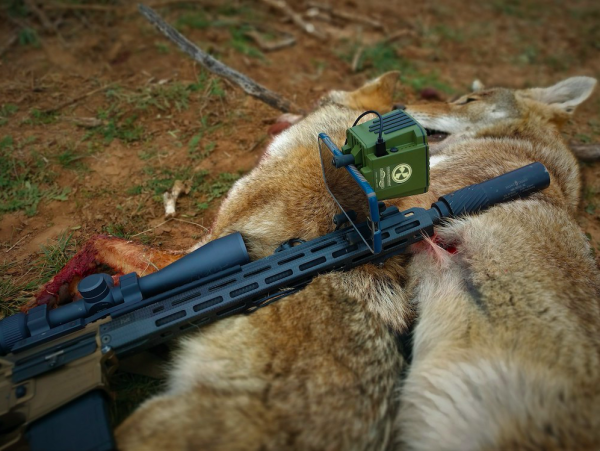
Euless, TX — The Sidewinder Weapon Mounted Game Call from Convergent Hunting Solutions offers hunters premium sound quality from an incredibly lightweight, go-anywhere platform with smartphone controls.
Created by professional hunter Byron South, Convergent game calls are made in the USA and deliver premium sound quality at an incredible value. Tested extensively from the piney woods of East Texas to the deserts of Northern Nevada, Convergent game calls provide the best sound thanks to industry-leading technology, effective volume control and unparalleled clarity of sound that’s sure to up your game.
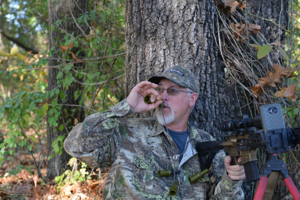
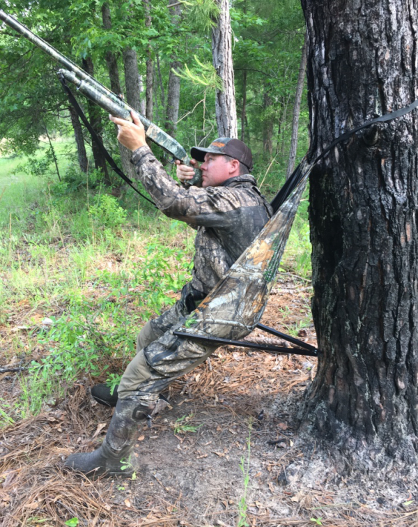
The Sidewinder Weapon Mounted Game Call is designed for the days when staying mobile and keeping a low profile are top priorities. At just 9.6 oz., the Sidewinder easily attaches to the handguard of an AR-type rifle and allows hunters to minimize movement while operating the call. The Sidewinder connects to a smartphone via USB-C cable and offers 100+ dB of crystal-clear sound. The device has been tested and approved for calibers up to 6.8 SPC and helps maintain a low profile and minimal movement when setting up to call. Read more


