Interactive map shows northern Michigan roads now open following ice storm
April 9, 2025
Resource includes areas cleared by Department of Natural Resources Incident Management Team, cooperators
A new interactive map provides a tool for people to track roads that are now open following the massive ice storm in northern Michigan.
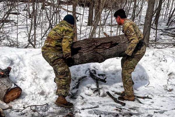
All roads on the map were identified as public safety priorities by the State Emergency Operations Center and were cleared of debris by the Michigan Department of Natural Resources (DNR) Incident Management Team, along with the Michigan National Guard and other cooperators.
“Making sure there are clear roads for vehicles in the event of an emergency has been one of our top missions since we got saws, trucks and equipment out in communities hit by these storms,” Keith Murphy, Incident Management Team Operations Chief, said. “Our crews and cooperators have already cleared more than 630 miles of roadway and we’re not done yet.”
Murphy added, “This map is a tool people can use to find clear routes to their destinations, providing options to keep them and their loved ones safe.” Read more