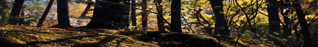
Journey Beyond the Road Features Conservation Victories, Mapping Land and Sea from the Chesapeake Bay to Chimney Rock
Arlington, VA – Virtual tours of some of America’s most important places—its parks, waterways and even battlefields—went online this week in Street View in Google Maps. The Conservation Fund and its partners unveiled a host of sites across the Eastern seaboard that they hiked, paddled, and explored with the Street View Trekker, a mapping tool from Google that allows anyone with a screen and internet access to journey beyond the road for a tour of iconic American sites where The Conservation Fund played a role in permanent protection.
Last year, Conservation Fund staff and its local partners borrowed and set out with Trekker, a 4-foot-tall, 40-pound camera and backpack, that’s part of Google’s project to create a digital reflection of the world for people to explore and enjoy. Now, these spectacular places that The Conservation Fund and its partners protected are online for the world to see. The result is a virtual tour of eight sites, stretching from Delaware to North Carolina. Now, the fields of Antietam National Battlefield, the waterways of the Chesapeake Bay, and the misty caves of North Carolina’s Chimney Rock State Park are available to visitors and outdoor enthusiasts across the globe seeking a glimpse of places they might not typically see on the web-based mapping service. Read more

 The Penny Snood Feeder Hen Decoy adds incredible realism to any turkey hunters’ decoy spread. The decoy’s relaxed feeding position puts both gobblers and hens at ease as they come in to your calls.
 March 4, 2015 Tucson, AZ – Joseph Hosmer, President, Safari Club International Foundation (SCI Foundation), announced that SCI Foundation’s Hunter Legacy 100 Fund (HLF) donated $100,000 to provide the Wildlife Conservation Foundation of Tanzania (WCFT) with vehicles to be used by anti-poaching patrols.
 Pigweed (Palmer Amaranth) has been a frequent topic of conversation among farmers and food plot guys in the last several years. Pigweed has been causing severe problems because of its rapid growth and in many parts of the county, resistance to glyphosate which leads to problems in glyphosate resistant crops that are being grown. In warm season food plots, whether it is a spring planted perennial or annual blend, pigweed can very quickly become a problem and overtake the plot.


