Residents invited to offer feedback on proposed actions by March 3
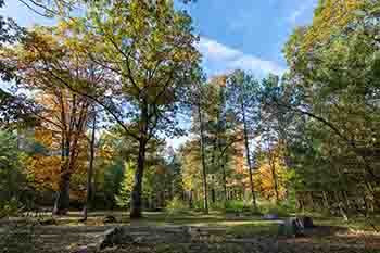
Cheboygan, Crawford, Eaton, Ingham, Jackson, Kalkaska, Missaukee, Muskegon, Osceola, Otsego and Ottawa – if you spend time hunting, fishing, hiking, camping, birding or otherwise enjoying the outdoors on public lands in any of these counties, the Michigan Department of Natural Resources wants your attention.
The DNR has completed review of this seventh group of counties as part of the department’s multiyear state land review process and is determining which parcels best meet its goal of delivering broad public access to quality outdoor recreation opportunities, while also protecting natural and cultural resources on those lands.
The public is invited to participate in virtual meetings March 1 and 2 to share their input on the outcomes of that review.
“We set out to carefully evaluate the more than 30,000 acres set for review in these 11 counties, and then either retain them because they’re a good fit with the DNR’s mission, protect them through agreements with conservation partners, trade them to consolidate state ownership, or make them available for sale to the public through auction,” said Scott Whitcomb, the DNR’s acting natural resources deputy.
It’s a long-term, detailed process that Whitcomb said helps ensure the DNR is focused on the lands that hold the greatest conservation, recreation and resource management potential for Michigan residents.
“We are now at a point in the review of the seventh group of counties where the next important step is to hear from the public – the people who know these local areas and use them in a variety of ways – about their ideas on our initial recommendations,” Whitcomb said. “We got a great response from earlier public reviews and, using local knowledge of the areas, made several corrections to our maps and ownership records, underscoring how important it is to have this input.”
The classification label for each parcel may be based, in part, on the natural or cultural resources present on the land; how the land is used, accessed or managed; and whether the land contributes to the department’s mission. The DNR’s initial recommended classifications for the public land in these 11 counties break down as follows: