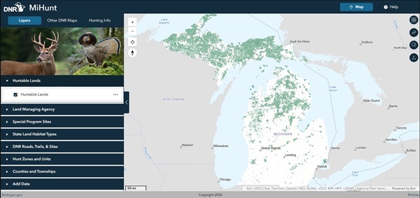
If easier planning and better customization of future hunting trips sound like a good match for you, check out the latest version of MiHunt, the state’s interactive map of lands open to public hunting.
“We wanted hunters to build their own adventure rather than be handed a finished one,” said Sarah Mayhew, a data specialist for the DNR Wildlife Division. “The map opens with lands open to public hunting and nothing else. Everything beyond that is up to you.”
Some layers hunters can switch on include species management unit boundaries, cover type layers showing forest makeup, land management agencies, and special hunting areas including Hunting Access Program properties, Turkey Tracts and Grouse Enhanced Management Sites.