Preparing for Time Outdoors
By Rachel Coale
Michigan Department of Natural Resources
Difference between a great day in the forest and a scary one comes down to planning
Ron Swanson, a fictional character from the quirky TV comedy “Parks and Rec,” is known for his firm ideas about enjoying the outdoors: “There is no such thing as bad weather, only inadequate clothing and means of transportation.”
We’re inclined to agree with the spirit of his statement, although we don’t recommend hitting the trail in stormy weather.
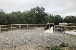
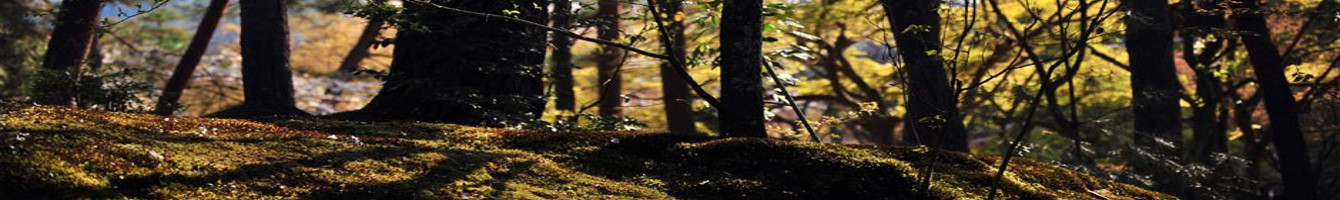
Preparing for everything from a bee sting to a bear sighting is the best way to have an enjoyable adventure, especially if you’re heading into the wilder side of Michigan’s public lands – state forests.
State forests are rugged areas with few amenities, smaller crowds than other outdoor attractions and more to explore. How much more? Michigan’s state forests, at 3.85 million acres, have more than six times the space of our state parks and game areas combined.
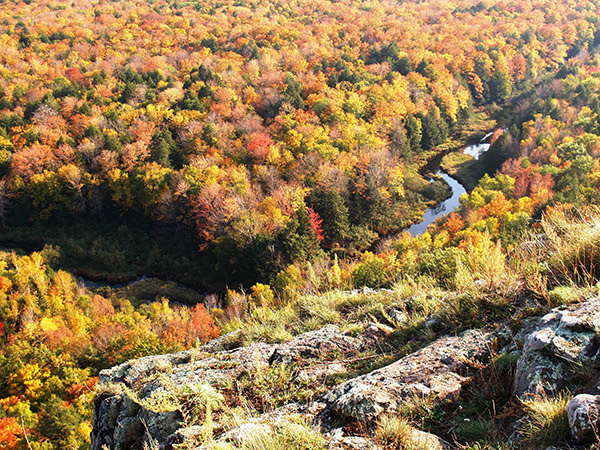
State forests are mostly located in the Upper Peninsula and northern Lower Peninsula – “knuckles north” on your trusty Michigan mitten hand-map.
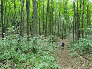
For some, these areas are a peaceful place to connect with nature, while for others, they offer a thrilling challenge to hike, mountain bike or horseback ride.
Here’s the lowdown on preparing for some of the hazards you might face on a state forest adventure. The list includes all-around tips for newbies who are just getting started and reminders for veteran outdoor enthusiasts to restock their kits. Read more